Tools For Resource Managers

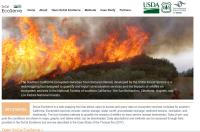
- SoCal EcoServe Tool: allows managers to view ecosystem services and impacts of wildfire
- Postfire Restoration Prioritization Tool.: for prioritizing restoration areas in chaparral-dominated landscapes
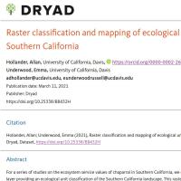
- Ecological Unit Classification and Map for Southern California: 37 ecological units developed based on 9 environmental data layers
- Landscape Management Unit tool: parses landscapes into basic topographic categories (statewide) (download an old version of the tool). An version of the tool updated for ArcGIS Pro is available here, including the output from a 30 meter model run for the entire state of California.
Spatial Data

- Data on climate change impacts on hydrology in southern California are available on the California Climate Commons website
- Landscape facets based on vegetation, aspect and topographic position
- Spatial data on ecosystem services are available through the SoCal Ecoserve Tool
- Aboveground live biomass data: Schrader-Patton, C.C. and E.C. Underwood. 2022. Annual biomass data (2001-2021) for southern California: above- and below-ground, standing dead, and litter. Dryad, Dataset, https://doi.org/10.5061/dryad.qz612jmjt